No cost threshold: the tool is entirely free, so the only investment is the time to request access and learn the keyframe workflow.
About
In practice. What you can do with Google Earth Studio.
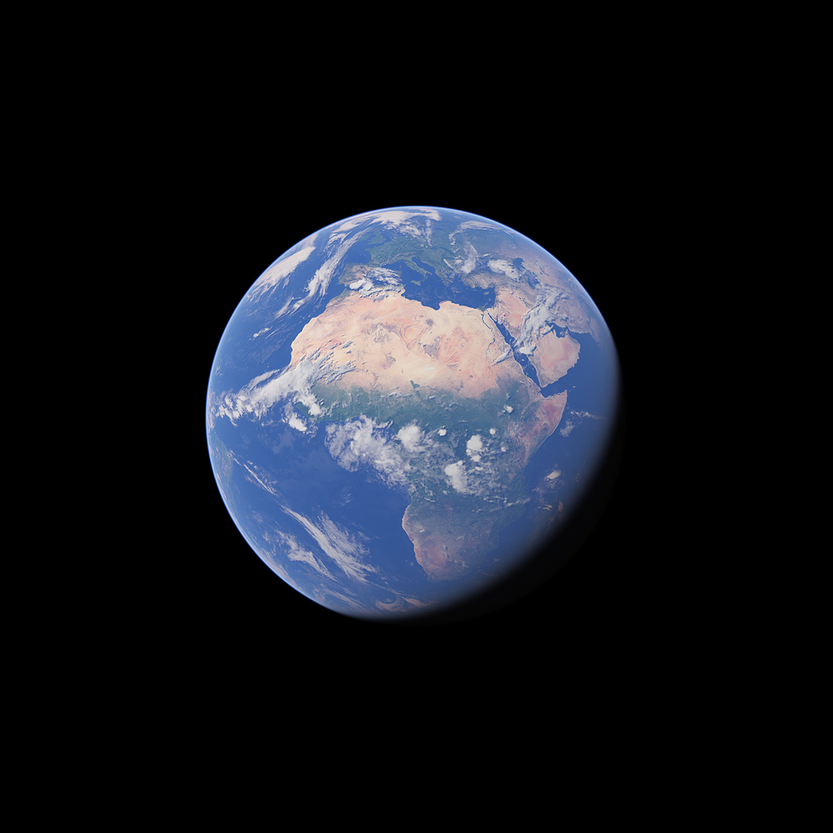
Google Earth Studio is a free, browser-based animation tool that applies keyframe techniques, familiar from standard motion design software, to Google Earth's satellite and 3D imagery. It includes templates for common moves like orbits and point-to-point flights, plus controls for sun position, camera field of view and map labels.
The tool is entirely free but requires desktop Chrome and a Google account, with access granted only after requesting it. Camera data exports to Adobe After Effects for further compositing, which makes it a fit for motion designers who need map or globe flythroughs without building 3D terrain from scratch.
Practical uses
Video introAnimate a satellite orbit or flight path into a city or landmark to open a video or title sequence.
Post-productionExport camera moves to Adobe After Effects to composite additional graphics or footage over the Earth imagery.
Features & use cases
Animation
Generation video
Motion design
Pros and cons. What Google Earth Studio does well, and what to expect.
Pros
Entirely free, with no paid tier at all.
Camera export to Adobe After Effects fits directly into existing motion design pipelines.
Cons
Runs only in desktop Chrome, with no native app or mobile support.
Access requires a request and approval before use, not instant self-serve.
When it makes sense. Keep Google Earth Studio, or challenge it?
Keep if
You need a map or satellite flythrough for a video and already work in Adobe After Effects.
Challenge if
You need to work outside Chrome desktop, or want instant access without a request step.
Our verdict. What to know about Google Earth Studio.
Why this verdict
Average
Added value
The tool is entirely free and covers a specific motion-design job (map/satellite flythroughs) that would otherwise need paid 3D terrain tools.
Simplicity
Keyframe animation follows a familiar motion-design workflow, but access requires a request and approval step before first use.
Fit for purpose
It delivers its stated promise directly: templates for orbits and flights produce usable camera animations over real map imagery.
Performance
The tool is narrowly scoped to map/globe flythroughs rather than general 3D animation, with no native app or mobile support.
Reversibility
Neutral score: data or project portability out of Google Earth Studio beyond the After Effects camera export is not covered by the collected sources.